Project Description
Wagner Engineering & Survey, Inc. (WES) performed Land Surveying services on SR-138 between I-5 and SR-14. WES performed research through Metro, Caltrans and Los Angeles County records to include monumentation established by Corner Records, centerline tie notes, records of survey, parcel maps and tract maps as well as Caltrans right-of-way maps and other records. WES established horizontal and vertical control networks. The coordinates were tied to primary NGS control points and Caltrans alignment control monuments.
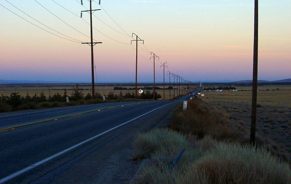
WES set aerial control panels and coordinated each using GPS methods; 48-miles of aerial mapping were delivered, all mapping met Caltrans Office of Photogrammetry review requirements. Ortho rectified photography was included in the deliverables. Existing centerline surveys were conducted and documented for 19 intersections, 5 electrical transmission systems, 2 bridge crossings, utility locations and monitoring surveys.
Project Details
| Categories | |
| Location | Los Angeles, California |